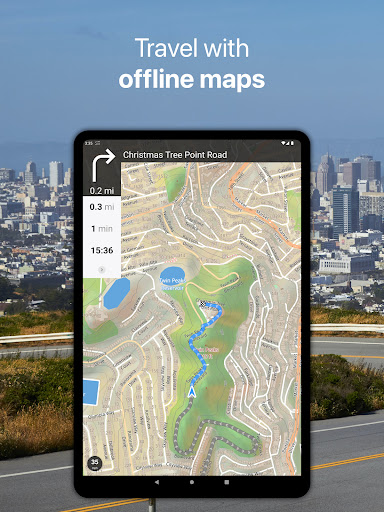
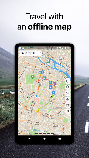
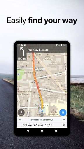
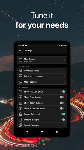
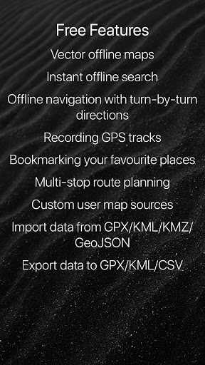
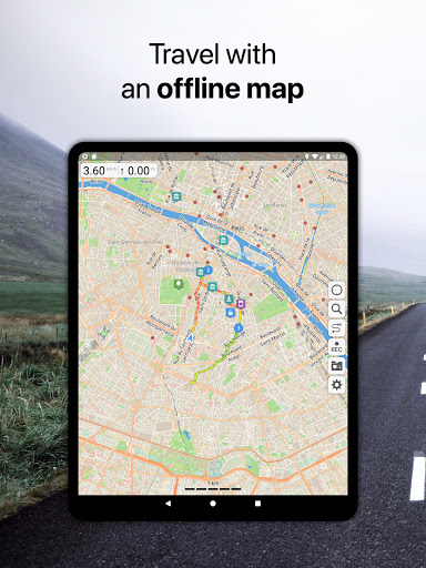
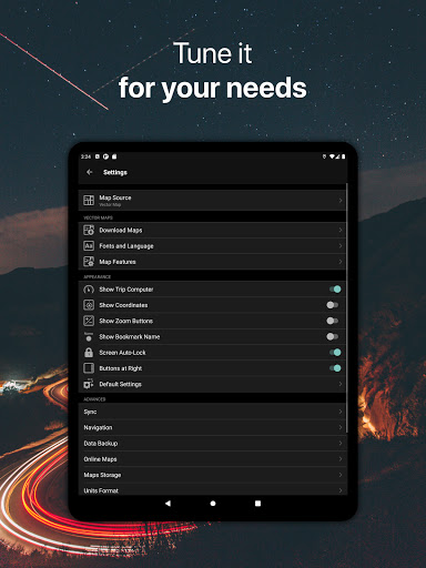
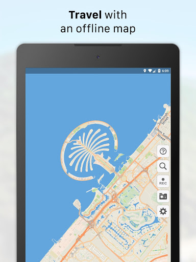
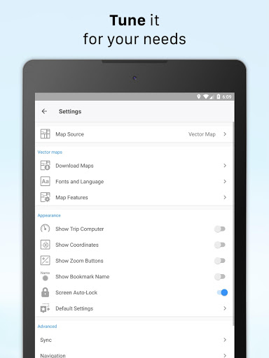
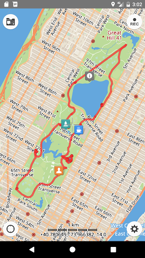
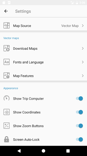
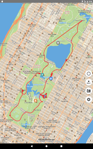
Guru Maps helps you find the best trail and spend some time enjoying the great outdoors like traveling, hiking, biking or off-roading. With detailed maps covering the entire world, offline navigation, and real time GPS tracking, you'll have everything you need to plan and organize your adventures.
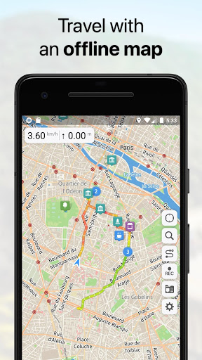
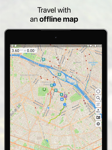
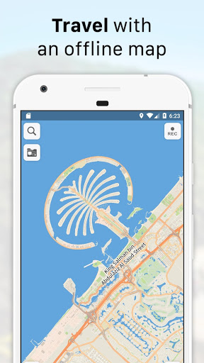
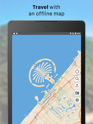
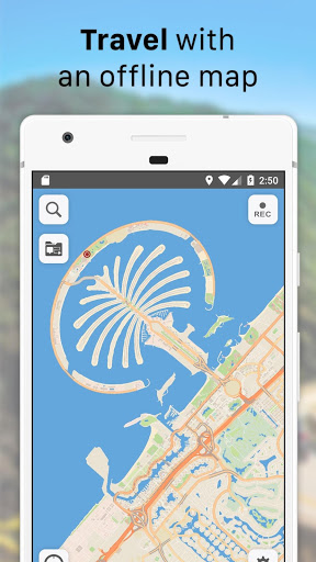
Offline Maps
• High-resolution & based on OpenStreetMap (OSM) data.
• Updated monthly with the most-recent fixes and additions.
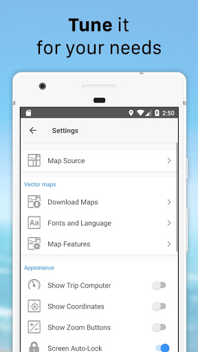
• Adjustable font size of the labels for better readability.
• Multiple custom map layers can be shown above the base one (GeoJSON support).
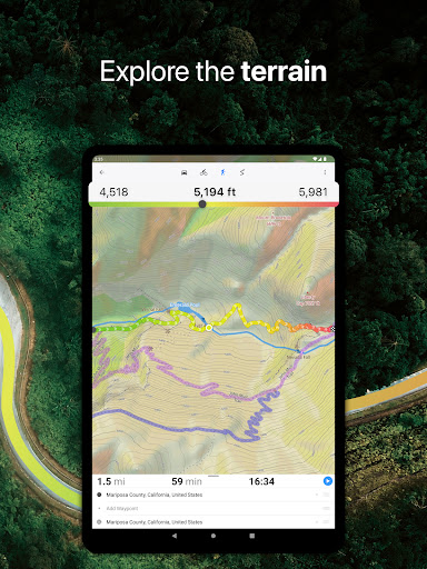
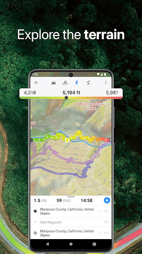
• Hillshade, contour lines and slope overlays for relief visualisation.
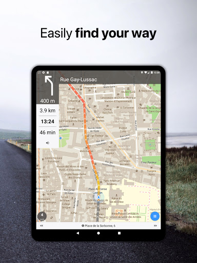
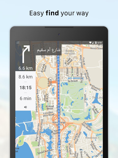
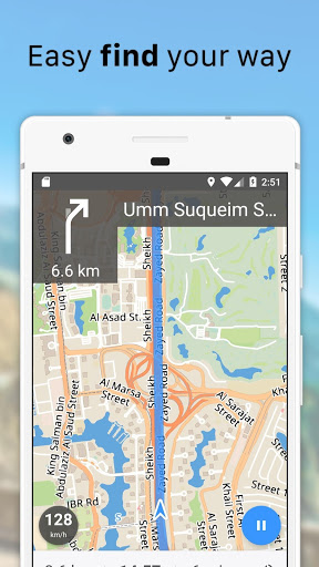
Offline Navigation
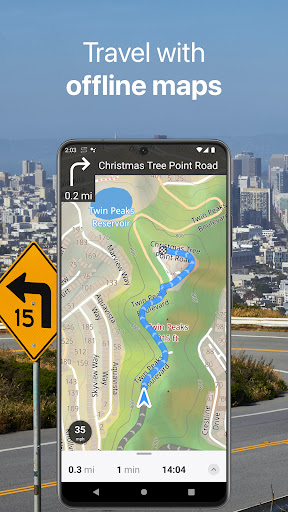
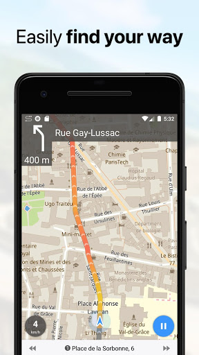
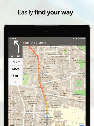
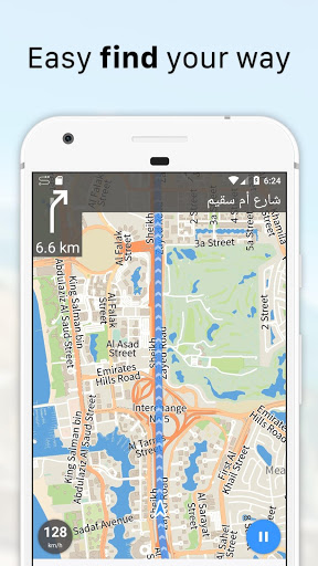
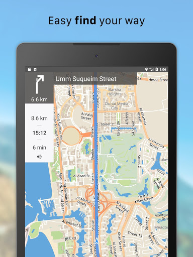
• Turn-by-turn voice-guided driving directions with alternate ways.
• Multi-stop navigation with the route optimization feature (circuit route planner).
• Voice instructions while navigating available in 9 languages.
• Routes for Driving/Cycling/Walking/Shortest Distance.
• Automatic rerouting gets you back along your way, even offline.
Drive Offroad
• There is an option for choosing the type of bike to build the perfect route, given the pavement (road surface): road, city, touring, mountain (MTB), trekking or gravel bikes.
• Plan an off-road overland trip in your 4x4 vehicle (quad, ATV, UTV, SUV, jeep) or moto, relying on topographic data in order to avoid trickier terrain. Find trails, campsites, adequate gas stations and other destinations along the route, even during an offline mode.
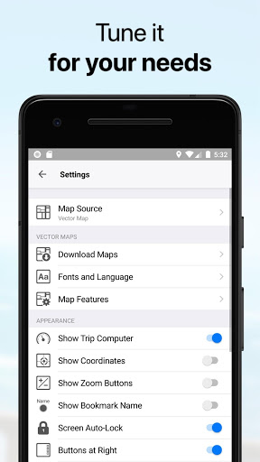
• The trip monitor shows the orientation (compass), accurate speed in mph, km/h or knots units (speedometer), distance (odometer), bearing line and azimuth during the trip. The app collects data from multiple satellites orbiting the Earth.
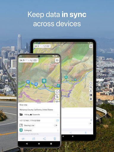
Synchronization
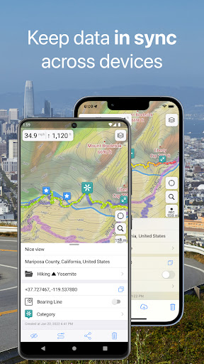
• Seamless sync your data across multiple iOS/Android devices as long as they are authorized with the same account.
• All the data such as saved places, recorded GPS tracks and created routes will be synced on all your devices on both OS platforms.
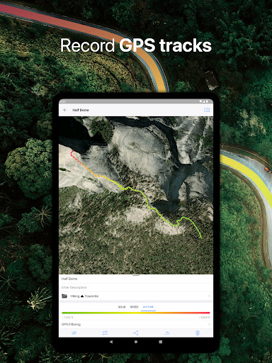
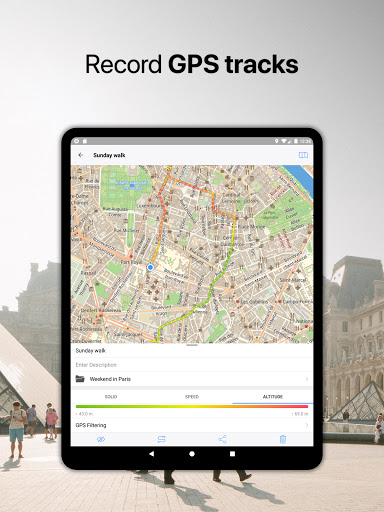
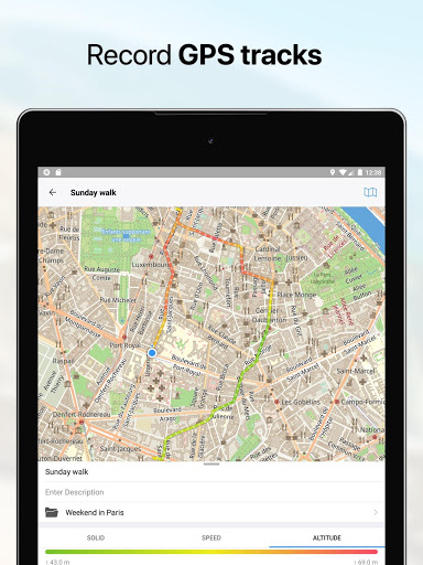
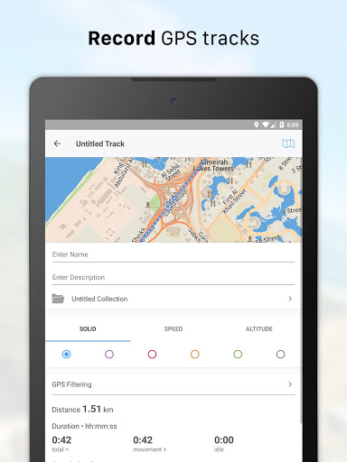
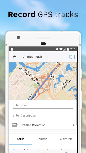
GPS Tracker
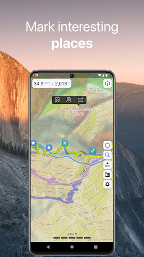
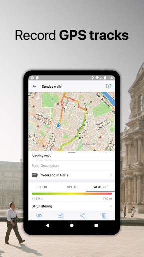
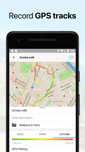
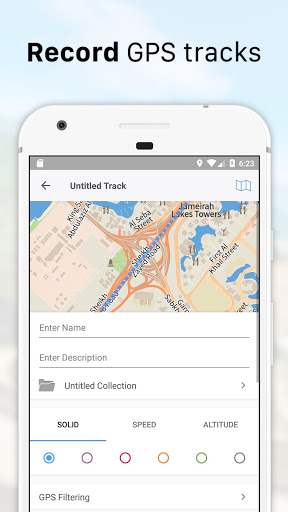
• Track the exact location of your phone & tablet real time.
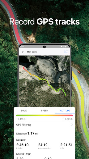
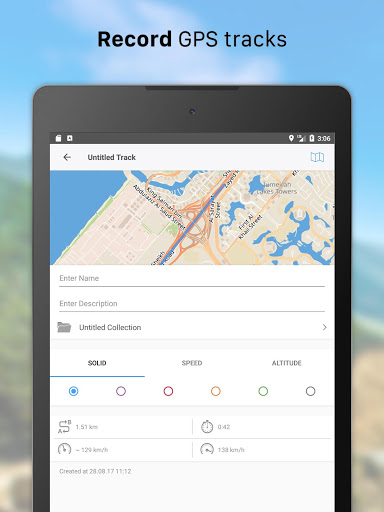
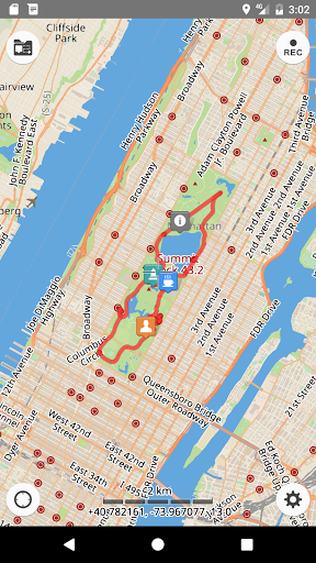
• Record your footpath even when the app is in the background.
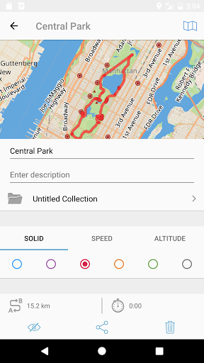
• Monitor detailed statistics of your ride: current speed, distance, time traveled, altitude.
• Choose from seven solid track colors, or altitude and speed gradients.
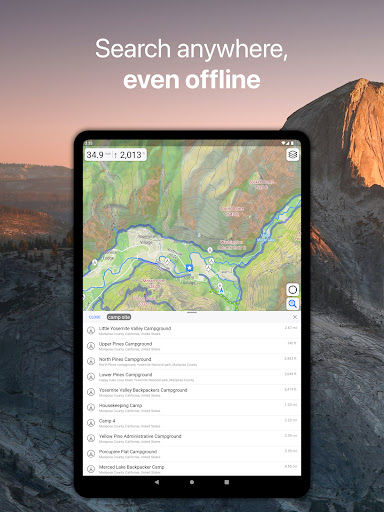
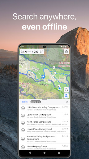
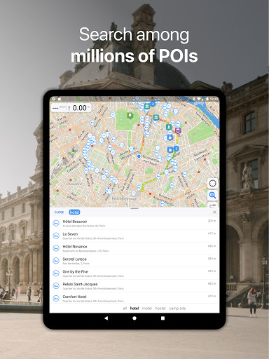
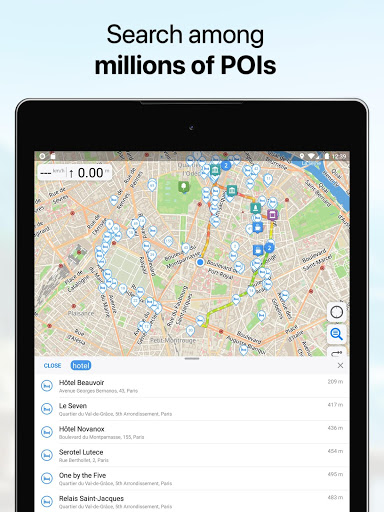
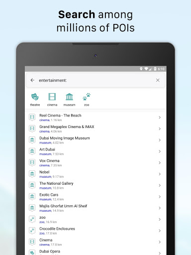
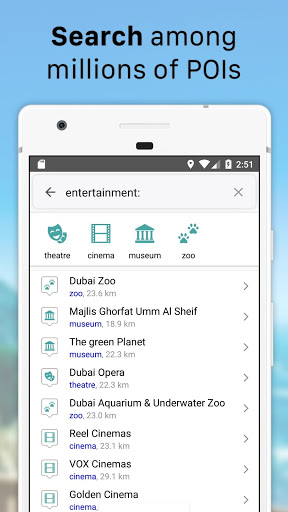
Offline Search
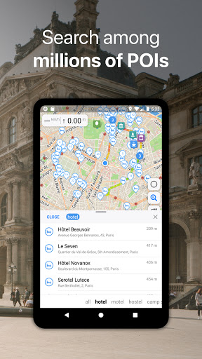
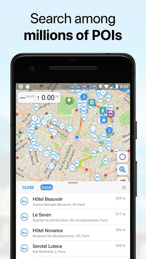
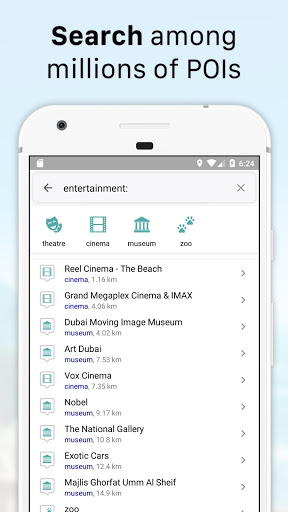
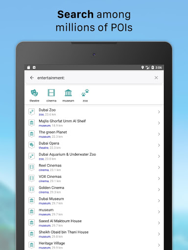
• Incredibly fast – results appear instantly as you type.
• Searches simultaneously in multiple languages, making searching easier than ever.
• Search in a variety of ways – by address, object name, category, or even by GPS coordinates. Supported coordinates formats: MGRS, UTM, Plus codes, DMS, latitude & longitude (decimal degrees (DD), degrees and decimal minutes, sexagesimal degree).
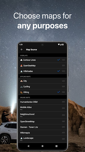
Online Maps
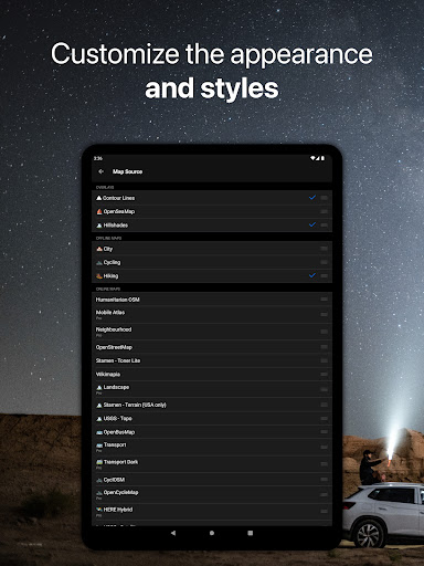
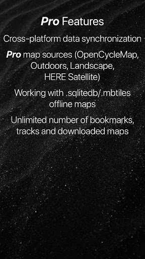
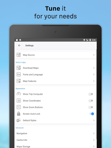
• Pre-installed online map sources: OpenCycleMap, HikeBikeMap, OpenBusMap, Wikimapia, CyclOSM, Mobile Atlas, HERE Hybrid (satellite), USGS - Topo, USGS - Satellite.
• Even more sources available for adding: OpenSeaMap, OpenTopoMap, ArcGIS, Google Maps, Bing, USGS etc from here: https://ms.gurumaps.app.
Supported File Formats
Support for a variety of file formats, including:
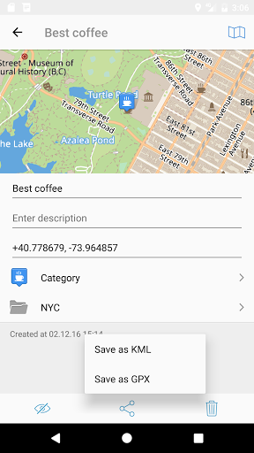
.GPX, .KML, .KMZ - for GPS-tracks, markers, routes or whole travel collections,
.MS, .XML - for custom map sources,
.SQLiteDB, .MBTiles - for offline raster maps,
.GeoJSON - for overlays.
PRO Subscription
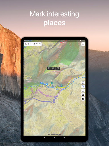
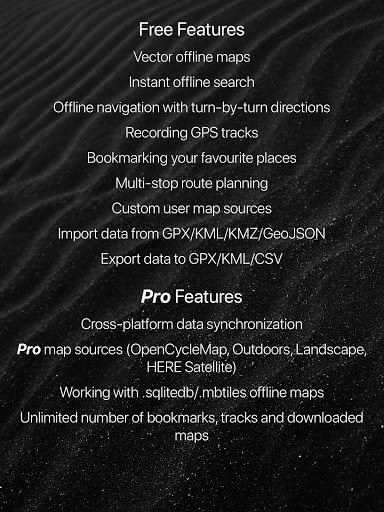
• With a pro subscription, you'll have access to unlimited markers, GPS tracks, and offline map downloads, as well as additional sources and file formats.
• Without subscription it’s possible to create up to 15 pinned places, record up to 15 tracks and have only 3 vector countries (regions) downloaded on your device.
• Choose from monthly, yearly, or one-time purchase (aka lifetime license) options.
Fixed several issues on older Android devices. Happy holidays! ?
Improved guidance for circular routes. Enhanced performance on devices with limited memory. Get ready for a Black Friday surprise!
We're thrilled to introduce exciting new features in the latest version of Guru Maps:
Perspective Map View:
• Experience a 20° tilt view by default when starting navigation
• Easily visualize turns and surroundings for better orientation
Share Your Adventures:
• Create shareable pictures of your trips with embedded stats
• Perfect for social media or sending directly to friends
In this version, we fixed several bugs that you probably didn't even notice.
Fixed numerous minor issues and improved the interface.
Added support for Android 14. Improved map downloading in the background. Fixed an error in offline search.
Numerous fixes and improvements.
We've made Guru Maps interface more informative by adding a bunch of new features:
- Completely new look for tracks, routes, and markers details
- Detailed statistics for recorded GPS tracks
- Elevation, speed, and slope profiles
- Color-coded trails for hiking and biking
Update to Guru Maps v5.4.0 now and take advantage of these exciting new features and design enhancements.
• Now you can import your offline maps in .mbtiles and .sqlitedb formats for free.
• Improved interface: We have worked on the application interface, making it even more convenient and understandable.
• Bug fixes: We have eliminated a number of minor flaws to provide you with a smoother and more reliable application usage.
1. New map style for the map objects — icons now have a circle colored backgrounds.
2. New marker icons for saved places — more than 25 new icons have been added, and the colors have become cleaner and brighter.
3. This update brings the highlighted areas for downloaded map regions. All saved offline maps are directly visible on the map at the highest zoom levels.
Fixed track arrows.
Fixed compass sensor on Samsung devices.
Optimized import and export of large GPX and KML files.
Fixed a lot of little things in the interface.
Optimized work with large GeoJSON files.
Added support for WPT, PLT and TCX file formats.
Fixed a lot of little things in the interface.
Minor improvements to the application interface.
Added automatic backups. Fixed possible causes of data loss.
The User Cabinet appeared. With a single account, it became more convenient to enable data synchronization on devices from different manufacturers.
Read more information about this update on our social networks.
Switch to an alternative route during navigation.
Improved little things in the interface.
Fixed several crashes.
Updated screenshots! :)
Corrected a lot of bugs in route guidance and straight line guidance.
Updated the navigation and route editing screens.
Accelerated map rendering.
Fixed sorting in my collections
While navigating along the track, the average driving speed is used to determine the time of arrival.
Added the ability to load a custom style for a vector map!
In addition to the default city style of vector map, two new map styles for foot travelers and cyclists are available now.
They contain information about hiking trails and cycling routes, as well as important travel information about walkability, difficulty, roads surface quality, cliffs and rest places.
Also all roads designated for bicycles are highlighted in the new cycling map style.
Minor corrections and improvements.
The text appears faster after starting the application and after restoring from the background.
Improved placement of street names.
You can now switch the map source on the route planning screen.
Minor corrections and improvements.
Minor corrections and improvements.
Fixed cursor position in navigation mode.
We added contour lines and hill shades. These are overlays that can be used with any map. To see them, download the topographic data for your region. The size of the data on the disk is incredibly compact, for example, the topographic data for Switzerland is only 19MB.
• Added quick map switch button
• Fixed GeoJSON related bugs. Supported data from overpass-turbo.eu
Dark theme support,
Search by bookmarks
1. Changed the way Guru Maps accesses the storage to work properly on Android10.
2. New compass mode rotates the map as you rotate your device to reflect your actual environment.
3. New option to choose how to import multiple folders from a single KML file: separately or merge them into one collection.
4. Route planning is optimized and now checks the offline navigation data before computing.
5. Resolved several backup issues and bug fixes.
Fixed bug, when collection deleted, but it contents is still visible on the map. Collections restored as recovered1, recovered2, etc.
• Now to install Guru Maps you need to download only 45-53Mb, and 5-10Mb to install an update.
• Numerous UI fixes and improvements.
• Reverse GPS track creation.
• Ascent and Descent for tracks calculated from the barometer data.
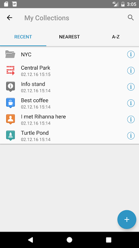
• Tracks stats in the list on the My Collections screen.
• Embed maps and overlays could be deleted from the list.
• Hidden Settings. You can disable bookmarks clustering and distance measuring gesture in Developers options by tapping the Version Number option 5 times in settings.
• The search by coordinates is smarter. It will forgive you if you forget to put a comma between latitude and longitude and many other misprints.
• Small fixes and improvements
Fixes and minor improvements.
• Added support for semi-transparent map layers. What to do if any problem with displaying custom map source occurs:
https://www.facebook.com/notes/guru-maps/what-to-do-if-you-are-seeing-this-message-multiple-layers-found-convert-to-overl/3093758490684091/
• Added support for GeoJSON and MapCSS formats. Read more: https://medium.com/@molind/guru-maps-now-supports-geojson-and-mapcss-6476f9347d5e
• Multiple fixes and improvements.
Fixed bearing line to bookmark.
Fixed location from messenger.
Fixed sqlitedb/mbtiles import.
Fixed KML/GPX import and export.
Fixed Facebook sync.
Fixed KML/GPX import and export.
Fixed Facebook sync.
Fixed KML/GPX import and export.
Fixed Facebook sync.
Since the v4.1.0 the Guru Maps app offers subscription prices:
• $2.50 per month
• $22.50 per year
• $67.50 one time purchase
Note: prices may vary by country.
For those who paid for in-app purchase earlier, a lifetime subscription is activated automatically.
Without subscription now it's possible to create up to 15 bookmarks and record up to 15 tracks, have only 3 vector maps downloaded simultaneously.
Location related fixes on Android 10
We have resolved some issues and fixed various small glitches.
We have resolved some issues and fixed various small glitches.
New, fast, super cool offline address search.
Updated app layouts and improved usability.
Includes crash and bugfixes.
1. Google&Facebook synchronization is working well again now.
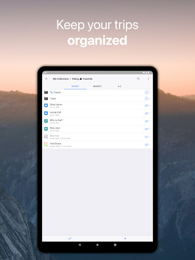
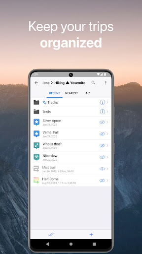
2. We revised the concept of My Collections folders and made some changes:
* Default collection isn't setup automatically now.
* All newly added bookmarks and GPS track are stored in the root of My Collections just like on the computers we've relied upon for ages.
* You still can organize your data in collections as in the past, mark any folder as default to save all newly created or imported data right there.
New languages added:
* Portuguese language (thanks to Álvaro Nunes)
* Brazilian Portuguese language (thanks to Frederico Maia)
Fixed Download Map button flickering.
Improved timestamp parsing in GPX, KML files.
Small improvements in OpenGL ES map rendering.
Bugfixes. Lots of bugfixes.
Offline routing works faster and better.
Fixed few rare crashes.
New GPS track statistics and gradient details. A lot of fixes and improvements.
• Widget for GPS track recording.• Fixed lots of bugs.
Better GPX format support. New tags recorded into GPX.Fixed lots of bugs.
Better GPX format support. New tags recorded into GPX.Fixed lots of bugs.
Address search! Finally! Enter address, tap Search button and enjoy result.Text rendering 2x speedup.Arrows to display direction on tracks and routes.New style of bookmarks on the map.Did you know, that you could swipe right on search result or bookmark to start navigation?
Fixed issue with black raster tiles.
Updated world map.Fixed few rare crashes.
New awesome fonts.Fixed nasty bug that broke continue track recording.
Few crashes fixed.
This update contains navigation fixes. Now it uses your movement direction to compute updated route.Also we found and fixed issues with map rendering on old devices.Thank you for using Galileo!
This update contains navigation fixes. Now it uses your movement direction to compute updated route.Also we found and fixed issues with map rendering on old devices.Thank you for using Galileo!
This update contains navigation fixes. Now it uses your movement direction to compute updated route.Also we found and fixed issues with map rendering on old devices.Thank you for using Galileo!
Navigation. NAVIGATION!! It's beta. It's works online. Use at your own risk.

 Xiaolajiao V11